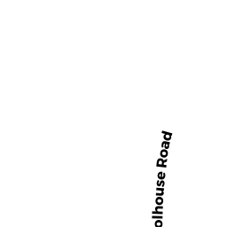
0 UPPER BAPTIST HILL
Owner Information
ZAJAC, EDWARD A.
106 UPPER BAPTIST HILL RD
CONWAY, MA 01341


Property Details
0 UPPER BAPTIST HILL is classified as a Accessory Land with Improvement.
0 UPPER BAPTIST HILL is valued at $92,700. The land is valued at $17,000 and the structures are valued at $75,700. There is an additional valuation of $75,700 on this property.
This property is in Zone 1A. Confirm with local Zoning Board authorities to ensure there are no overlays or other easements on this property.
0 UPPER BAPTIST HILL was last sold on Tuesday, January 1, 2008 for $1.
Assessment data from fiscal year 2020.
Flood Data
According to the FEMA National Flood Hazard Layer, this property does not appear to be in a flood zone. It may also be in an area not yet reviewed. Nonetheless, confirm this information prior to taking any action.
To view the flood hazards around this property, create a FEMA "Firmette" Map of the area around 0 UPPER BAPTIST HILL.
Broadband Internet Providers
| Provider | Type | Bandwidth (mbps) | |
|---|---|---|---|
| Verizon New England Inc. | DSL | 10 | 1 |
| Viasat Inc | Satellite | 35 | 3 |
| Comcast | Cable | 1000 | 35 |
| GCI Communication Corp. | Satellite | 0 | 0 |
| HughesNet | Satellite | 25 | 3 |
| VSAT Systems, LLC. | Satellite | 2 | 1 |
Broadband service provider data from December 2020.
Adjacent Properties
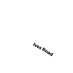
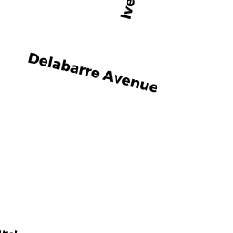
- 110 IVES ROAD
Mixed Use (Primarily Residential, some Forest) owned by FRENCH, NTF NOMINEE TRUST - 140 UPPER BAPTIST HILL
Two-Family Residential owned by DOWNIE, KEVIN F. - 96 UPPER BAPTIST HILL
Single Family Residential owned by FITZGIBBONS, DANIEL J. - 106 UPPER BAPTIST HILL
Single Family Residential owned by ZAJAC, EDWARD A. - 36 UPPER BAPTIST HILL
Mixed Use (Primarily Residential, some Forest) owned by HARDIGG, JAMES S.